By KELVIN CHAN and JUSTIN PRITCHARD
Associated Press
HONG KONG (AP) — Investigators are closer to solving an international aviation mystery thanks to a British communications satellite and classroom physics.
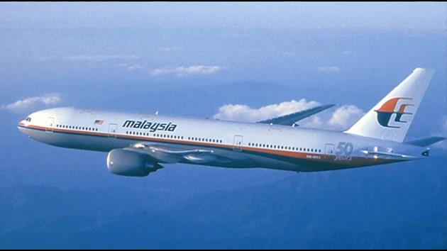
A masterful analysis of a handful of faint signals sent from Malaysia Airlines Flight 370 to an Inmarsat satellite led officials to conclude that the Boeing 777 crashed in a remote part of the southern Indian Ocean, with all 239 lives likely lost. Malaysian Prime Minister Najib Razak called the effort “a type of analysis never before used in this investigation of this sort.”
More precise information about the plane’s last position is helping authorities refine the search being undertaken by planes and ships in seas 2,500 kilometers (1,550 miles) southwest of Perth, Australia. Investigators had precious little information to examine otherwise because the transponder, identifying the jet to air traffic controllers, was deactivated about the same time the jet veered off course from its original destination, Beijing, early March 8.
THE PINGS
Even with other communications shut down, the plane automatically sent a brief signal — a “ping” or a “handshake” — every hour to an Inmarsat satellite. The pings did not show the jet’s location, speed or heading, but an initial analysis showed the last ping came from a position along one of two vast arcs north and south from the Malaysian Peninsula.
A statement from Inmarsat said it was able to use “detailed analysis and modelling” of transmissions from the missing flight and “other known flights” to describe “the likely direction of flight of MH370.” The company did not respond to repeated requests for comment from The Associated Press.
A company official told London’s Daily Telegraph that engineers analyzed the pings by measuring the change in frequency related to the satellite’s position, which helped them map the plane’s movement. Inmarsat compared those findings to other aircraft that used a similar path and found “extraordinary matching” that allowed them to determine the plane had taken the southern route over the Indian Ocean, Chris McLaughlin, senior vice president of external affairs at Inmarsat, said.
DOPPLER EFFECT
Think of a horn being honked in a passing car. To the driver, the sound is constant. To an observer, the sound is high pitched as the car approaches and is lower after the car passes. That’s because on approach, each successive sound wave is sent from a slightly closer position to the observer. The sound waves get compressed, resulting in a higher frequency. The opposite happens as the car moves away. It’s called the Doppler effect for Austrian physicist Christian Doppler, who first put forward the theory in 1842.
The same effect applies to “pings” from the plane to the satellite orbiting in a fixed position, which would arrive at a higher frequency if the plane was moving toward the satellite and decrease in frequency when moving away.
“By analyzing that you can determine speed and direction,” said Joseph Bermudez Jr., chief analytics officer and co-founder of AllSource Analysis, a commercial satellite intelligence firm. And by determining the area from which the last signal was sent, then estimating fuel left, it “could give you an approximate area of where the aircraft impacted.”
MORE ANALYSIS
Inmarsat sent its data to investigators days after the plane went missing. But it continued to run its own analysis to see if it could wring out any more clues.
The company’s engineers were dealing with a “totally new area,” Inmarsat’s McLaughlin told the BBC. “This really was a bit of a shot in the dark.” However, the latest information could only go so far in pinpointing the jet’s location.
“We can’t help you with any closer data,” he said.
Satellite specialists were impressed by Inmarsat’s analysis.
“They exploited a digital trail that was never intended for that use. It was just a shadow that somebody spotted and made use of,” said David Cyganski, dean of engineering at Worcester Polytechnic Institute.
Gregory D. Durgin, a professor who teaches satellite communications at the Georgia Institute of Technology, said that because Inmarsat was using a different kind of satellite in a novel way, he expects it would locate the last ping from the Malaysia Airlines lane within “around 100 miles of precision.”
THE COMPANY
Inmarsat Plc started out in 1979 as an intergovernmental organization with the aim of helping ships communicate while at sea. It became a private company in 1999 and listed its shares in London in 2005. Customers now include governments, airlines, broadcast media, oil and gas companies, aid agencies as well as merchant shipping. They use handheld satellite phones, laptop size internet devices and antennas linked to the company’s 10 satellites to communicate.
——————————————
Pritchard reported from Los Angeles. Cassandra Vinograd in London, Holbrook Mohr in Jackson, Mississippi, also contributed to this report.
Copyright 2014 The Associated Press. All rights reserved. This material may not be published, broadcast, rewritten or redistributed.